DH Inspection V2
A web and Android platform for hydrocarbon field inspections, with offline workflows, digital reports, georeferenced evidence and full traceability.
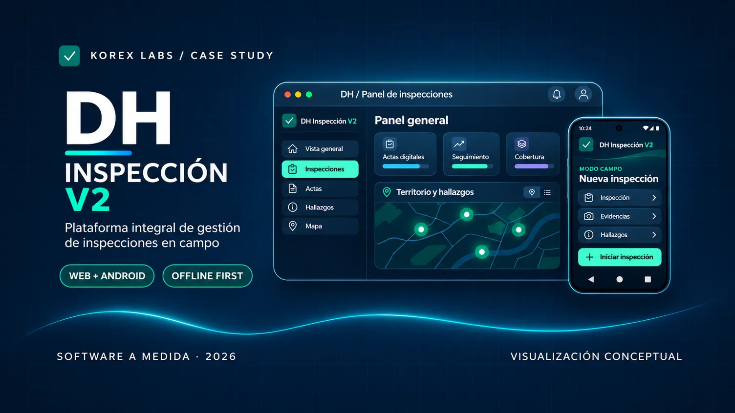
Technology built for field inspections
DH Inspection V2 is a custom solution developed for Mendoza’s Directorate of Hydrocarbons. It supports the inspection workflow from preparing a field visit to documenting findings, producing official records and reviewing inspection history.
The solution combines a centralized web management platform with a native Android app for inspectors, connecting field operations and administrative follow-up while preserving traceability and role-based access.
The challenge
Inspections take place at oil and gas fields and facilities where network coverage cannot always be guaranteed. Inspectors needed a practical way to capture evidence, document observations and maintain each asset’s context without relying on a continuous internet connection.
Key features
- Offline Android workflows: download the relevant inventory, record observations on site and synchronize later.
- Structured asset inventory: operators, areas, fields, facilities, sub-facilities and equipment.
- Digital inspection records: visit documentation, PDF and Word reports, previews and signature workflows.
- Findings and follow-up: photographic evidence, commitments, deadlines and subsequent verification.
- Geospatial context: maps and georeferenced data that connect inspections with physical locations.
- Management and traceability: inspector, supervisor and director roles, activity history and operational dashboards.
Design and architecture
The platform uses React and TypeScript for the web interface, a NestJS API, PostgreSQL with PostGIS for territorial data, and a native Kotlin Android app with Jetpack Compose. The infrastructure is containerized with Docker, with deployment and backup workflows.
The outcome: one integrated platform that streamlines field documentation, structures territorial information and connects inspection work with administrative management.